The south side borders an semi-undeveloped commercial zone.
|
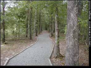
The walking trail runs very close to the commercial zone so the
left side of this picture has less vegetation.
|
|
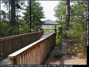
The southeast observation platform is positioned on the rim of
the former gravel pit.
|
|
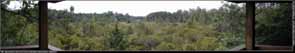
The southeast observation platform overlooks a large expanse of
woods.
Click here
to see the full-size (329KB) image.
|
|
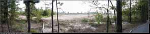
This photograph shows the abrupt demarcation of the southern border
of the wetlands park.
Click here
to see the full-size (711KB) image.
|
|
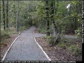
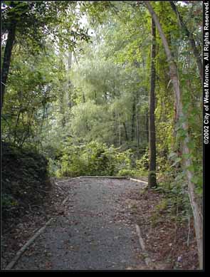
The walking trail branches off north to the central observation
platform.
|
|
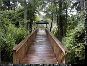
The central observation platform sits on the water within the boundary
of former gravel pit.
|
|
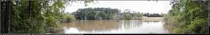
The central observation offers perhaps the best pond-side view.
Both the west observation platform and I-20 are visible across the
beaver pond.
Click here
to see the full-size (692KB) image.
|
|
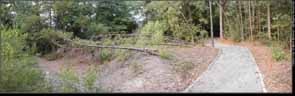
The rocky subsoil occasionally makes it difficult for trees to
anchor themselves.
Click here to see
the full-size (569KB) image.
|
|
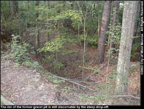
The edge of the former gravel pit is readily apparent from many
parts of the walking trail because of the steep drop-offs.
|
|
This spur of the walking trail overlooks a creek where water enters
the wetlands park.
|
